Join
Donate
Login
Home
What We Do
Bushland Regeneration
Water Monitoring
Community Awareness
Schools Program
Flora & Fauna Surveys
Projects
Get Involved
What’s On
Membership
Volunteer Groups
Discover
Explore the Reserves
Flora and Fauna
History
Galleries
Yellow Robin Audio Trail
Dragonfly Audio Trail – for Children
Publications
Media Releases
Newsletters
Resources
Archive
About
Who We Are
Our Business Partners
Funding & Grants
Documents
Contact
Contact Us
Useful Links
Frequently Asked Questions
Select Page
Location
Location
Melways Ref:
Map 144 – Ref. K11
Lat/Long:
Latitude 38°15’55S, Longitude 145°01′”04E
Click here to view a Map of the Estuary
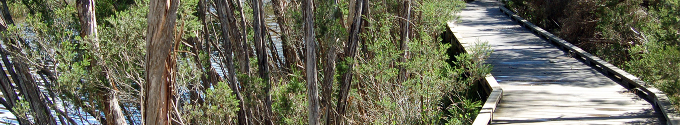
The walking track can be accessed from either end. Car parks are indicated on the map.
To download the BERG brochure –
Click here
To download a map of the Mt Martha Boardwalk –
Click here